Karakoram Highway - 8th Wonder of the World

About More Karakoram Highway

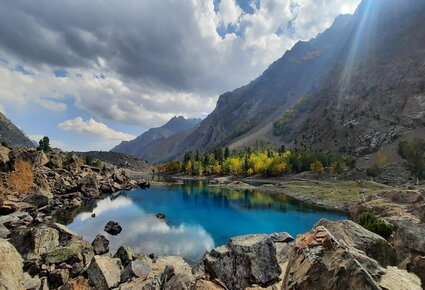
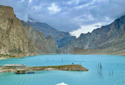
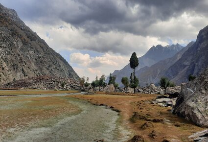
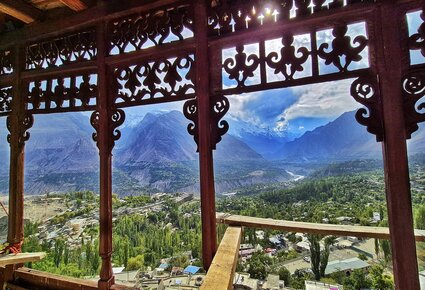
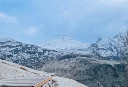
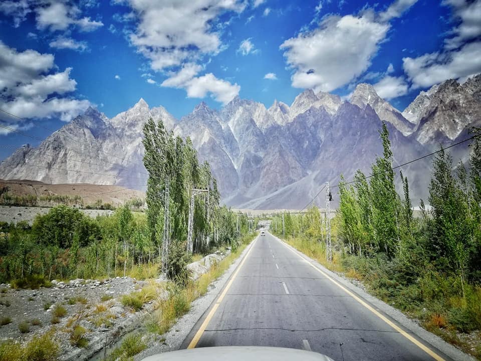
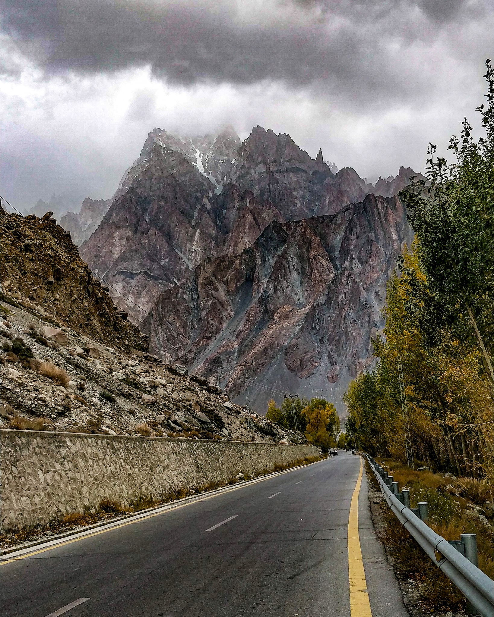
The Karakoram Highway is a road that links Kashgar (Kaxgar) in the western Xinjiang Uyghur Autonomous Region of China with Islamabad, the capital city of Pakistan. This road, which took nearly two decades to finish (from 1959 to 1978), spans roughly 500 miles (800 kilometers) through some of the most rugged and hard-to-access landscapes in Asia; it traverses or is close to the Pamirs, Hindu Kush, Kunlun Mountains, and Karakoram Range.

Heading south from Kashgar through western Xinjiang, the highway navigates through valleys surrounding the impressive peaks of the Sarykol Range, situated at the convergence of the Pamirs and the Kunluns, before entering Gilgit-Baltistan (part of the Pakistani-administered Kashmir) at Khunjerab (Kunjirap) Pass. The route then meanders through deep valleys amid the Karakoram mountains until reaching the upper Indus River valley just east of Gilgit. Following the river downstream past the Nanga Parbat massif, the road diverges as the river emerges from the mountains and heads generally south toward Islamabad.

This highway was a collaborative endeavor between Pakistan and China that involved the efforts of around 24,000 workers. The construction faced constant threats from mudslides, rockfalls, and other avalanches, and the unforeseen movement of glaciers in the area complicated the road’s development. Even after it was completed, the highway required significant upkeep, but it has significantly benefited the economic lives of the Uyghur, Tajik, and Kyrgyz people residing in the mountainous areas.

Karakoram Highway Map and Location:

Tour Attractions Near Karakoram Highway

Gallery

FAQs

What is Pir Chinasi famous for?

It is a renowned tourist spot because of its picturesque beauty and spiritual importance. The mountain is named in honor of a Sufi saint, Pir Chinasi, who is said to have meditated there. It provides breathtaking views of the nearby landscape, including the Jhelum River and the Kashmir Valley.

What is the altitude of Pir Chinasi?

Pir Chinasi, also known as Peer Chinasi, is a shrine and popular tourist spot located approximately 30 kilometers (19 miles) east of Muzaffarabad, the capital of Azad Kashmir, which is governed by Pakistan. It is perched atop hills at an elevation of 2,900 meters (9,500 feet).

Is Pir Chinasi worth visiting?

It is a well-known attraction for travelers because of its picturesque views and religious importance. The mountain is named in honor of a Sufi saint, Pir Chinasi, who is thought to have meditated there. It provides breathtaking vistas of the nearby scenery, including the Jhelum River and the Kashmir Valley.

What is the elevation of Pir Chanasi in relation to sea level?

This magnificent location, situated to the east of Muzaffarabad, is at an impressive altitude of 2924 meters above sea level. Its breathtaking scenery, lush green plateaus, and delightful climate captivate nature enthusiasts.

Where can Pir Chinasi be Location?

Azad Kashmir
Pir Chinasi, also known as Peer Chinasi, is a holy site and a popular tourist attraction situated approximately 30 kilometers (19 miles) to the east of Muzaffarabad, which is the capital city of Azad Kashmir governed by Pakistan.