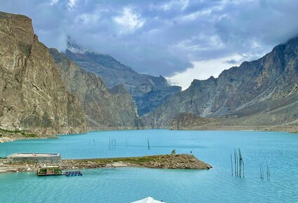
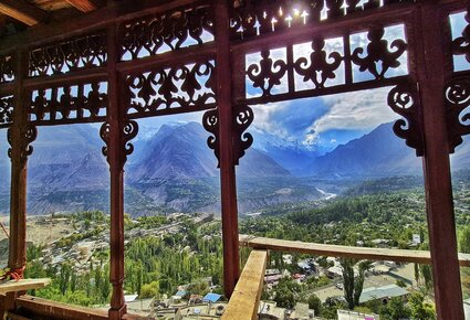

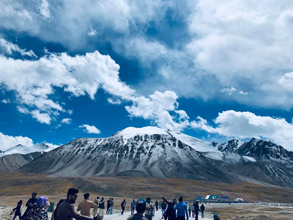
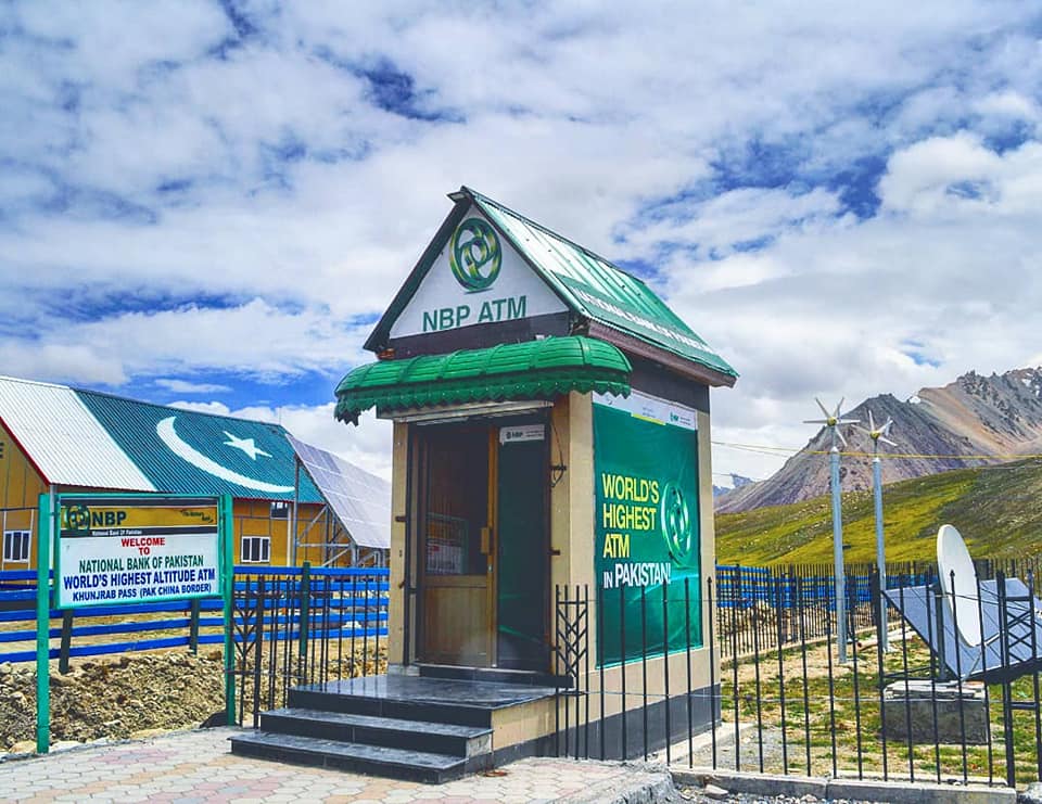
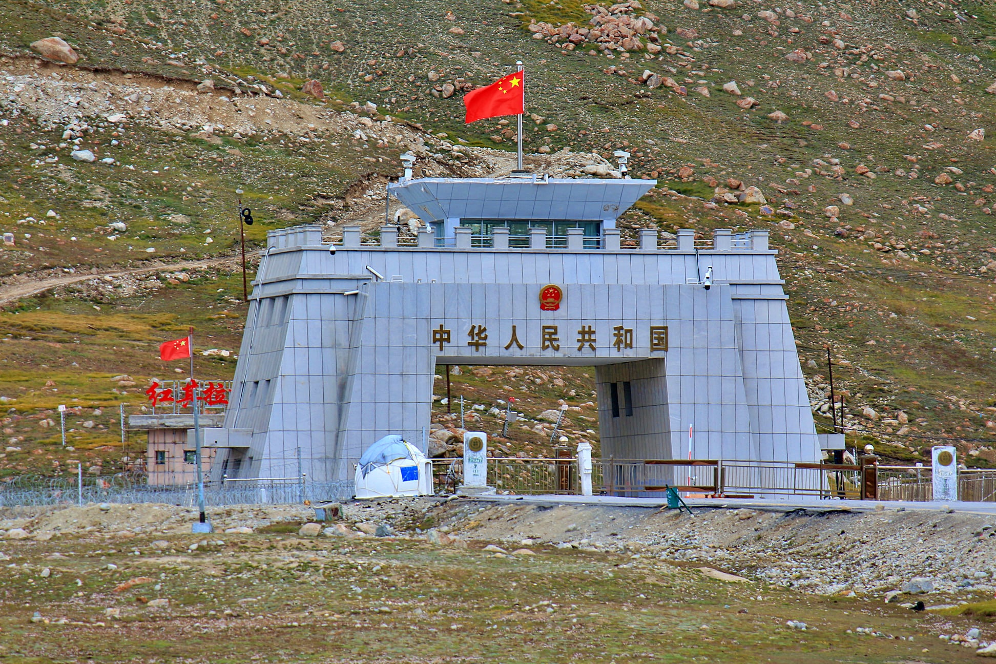
Khunjerab Pass is a breathtaking mountain pass in northern Pakistan, inviting visitors to experience its soaring elevation of 4,693 meters (15,397 ft) above sea level. Nestled within the scenic Karakoram region, it is an important gateway along Pakistan’s northern border, especially in Gilgit-Baltistan, including the Hunza and Nagar Districts. The pass also welcomes travelers to the southwestern border of China, within the Xinjiang territory.
Nearby, Mutsjliga Pass [ceb] rises to an elevation of 5,314 meters (17,434 ft) at approximately 36.97374°N 75.2973°E, adding to the area’s significance as a key mountain corridor.
The name “خنجراب” in the local Wakhi language is tied to the landscape, meaning ‘waterfall house.’ The term is formed from “خون” (Khun, meaning house) and “جراب” (Jerab, meaning a creek from a spring or waterfall), reflecting the pass’s natural features.
Khunjerab National Park warmly welcomes visitors to observe the endangered snow leopard in its natural habitat. Khunjerab Pass stands out as the highest paved international border crossing in the world and the highest point along the Karakoram Highway. Completed in 1982, the road through this pass replaced the previously rugged Mintaka and Kilik passes, offering easier access through the majestic Karakoram Range.
The decision to use Khunjerab Pass as the main route for the Karakoram Highway was made in 1966 to address strategic safety concerns. China recommended the steeper Khunjerab Pass over Mintaka, suggesting that its terrain would be less susceptible to air strikes.
On either side of the pass, distances to major checkpoints, customs posts, and cities underscore the pass’s role in facilitating movement between Pakistan and China. The Pakistani side is 42 km from the National Park station in Dih, 75 km from Sost, 270 km from Gilgit, and 870 km from Islamabad. On the Chinese side, Khunjerab Pass is the southwestern endpoint of China National Highway 314 (G314), located 130 km from Tashkurgan, 420 km from Kashgar, and 1,890 km from Urumqi. The Chinese entry point lies 3.5 km from the pass within Tashkurgan County.
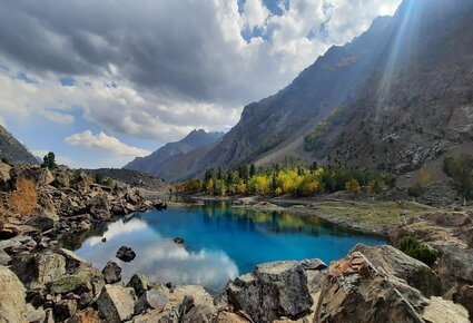
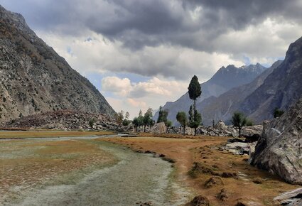
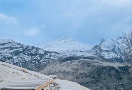
The expansive and inviting pass is often covered with snow in winter, transforming the landscape into a tranquil setting. While heavy vehicles are generally restricted from November 30 to May 1, and all vehicles from December 30 to April 1, late-season snowfall may allow access throughout winter thanks to road-clearing efforts, which can take from a few days to several weeks.
Since June 1, 2006, travelers have enjoyed a daily bus service crossing the border from Gilgit to Kashgar in Xinjiang, making journeys between these vibrant destinations accessible and memorable.
A road sign displaying distances to cities in Pakistan also marks the transition from left-hand traffic (Gilgit-Baltistan) to right-hand traffic (China), highlighting a logistical shift as travelers cross the international boundary.


