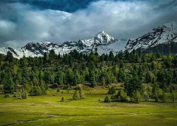

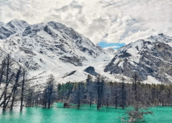
With silver-tipped mountains and sunshine, the blend of sunshine and clouds creates a mesmerizing atmosphere.
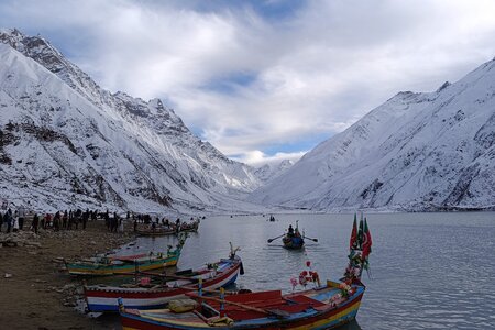
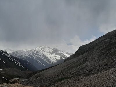
Babusar Pass and surrounding valleys are looking very beautiful after a recent snowfall. Snow enthusiasts flocked to the crisp air and stunning scenery after the snow stopped, which caused the weather to become exceptionally pleasant.
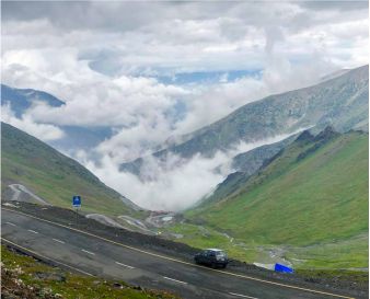
Babusar Pass provides an easy and scenic journey along the Karakoram Highway for tourists heading to Gilgit-Baltistan. Anciently, Babusar Top, also known as Babusar Pass, was an important transit route.
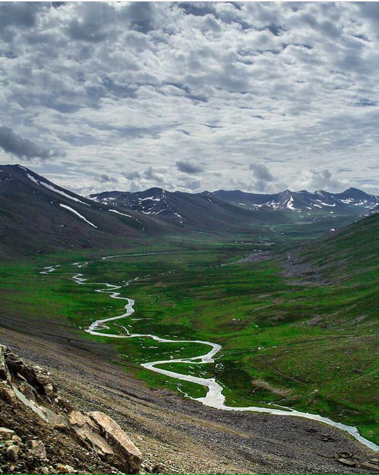
In the winter, snow-capped mountains create a picturesque landscape at Babusar Top, attracting tourists who claim views are fantastic after the snowfall. As a result, Babusar Top remains below freezing.
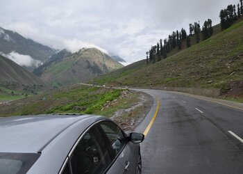
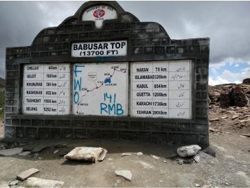
At an elevation of 13,700 feet, Babusar Pass/Top is the highest point on the border between Khyber Pakhtunkhwa and Gilgit Baltistan. All kinds of vehicles can use the road as it is carpeted, wide, and usable by all types of vehicles. The visitors will enjoy beautiful scenery on both sides of the top, even in the chilliest summer months.
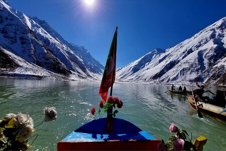
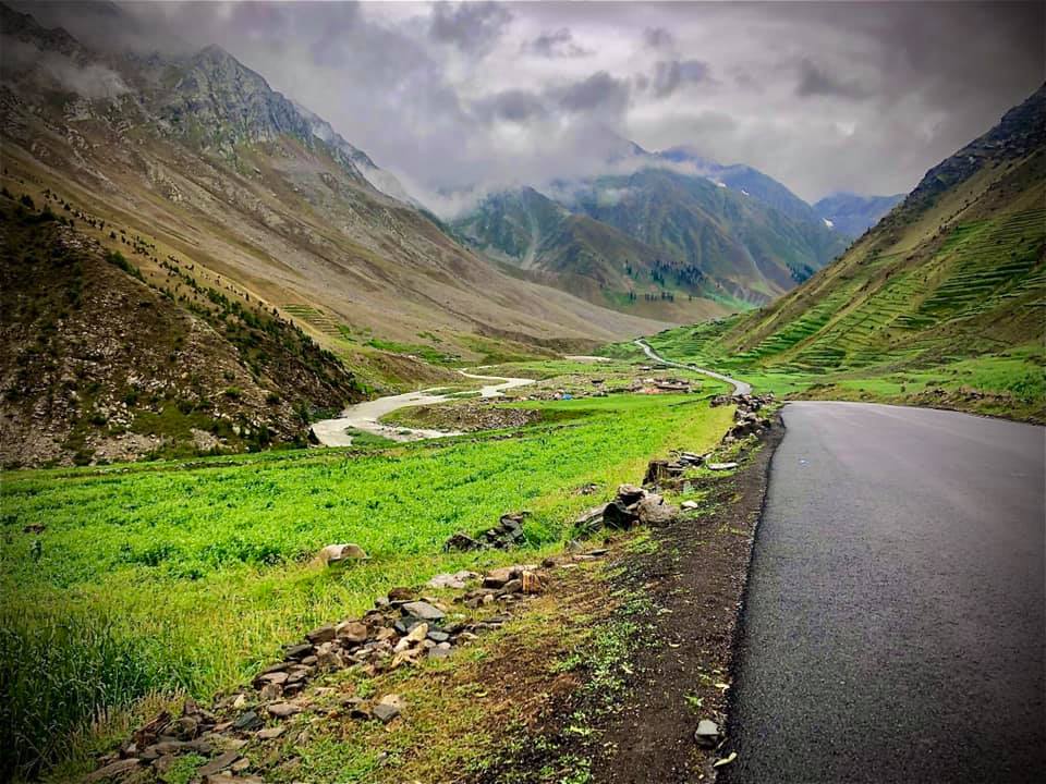
An elevation of 13,692 feet above sea level is Babusar Pass. Kaghan Valley lies on the Karakoram Highway between Thak Nala and Chilas northeast of Lalusar-Dudipatser National Park in KPK. The distance between Naran and this site is 65 km, and it is easily accessible by car. A snow-covered road prevents travel during the winter. In the summer, it is open until October.
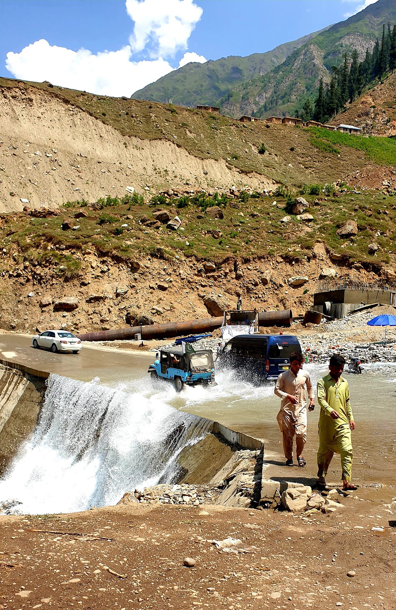
In Gilgit-Baltistan, the Babusar Pass (4173 m) connects the Afghan territory with Khyber Pakhtunkhwa, Pakistan. This is an incredible place, is around 54 km from Naran, and the road is quite windy, so you will need about 2 hours and 30 minutes to drive along the beautiful Naran Valley and river Kunhar.
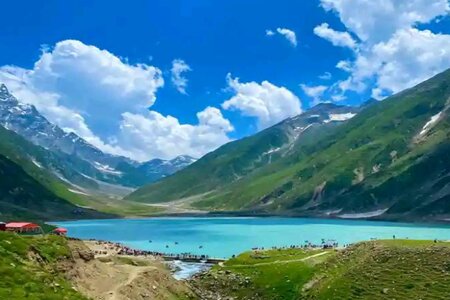
Summers are hot and humid, so visit between June and mid- or late August before heavy snow starts falling. June can still bring snowfall. An incredible view and a road in very good condition make this area a must-see.


